What is an Island Nation?
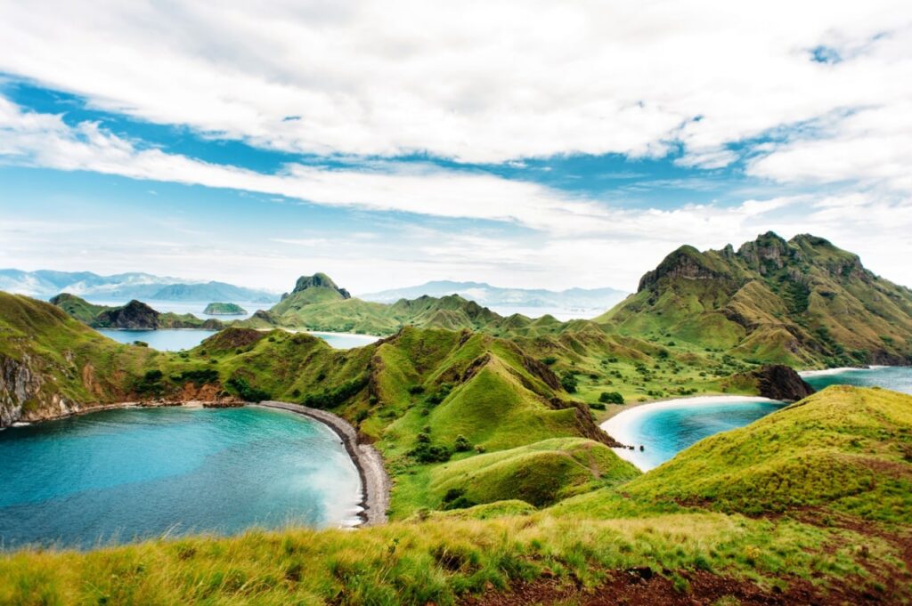
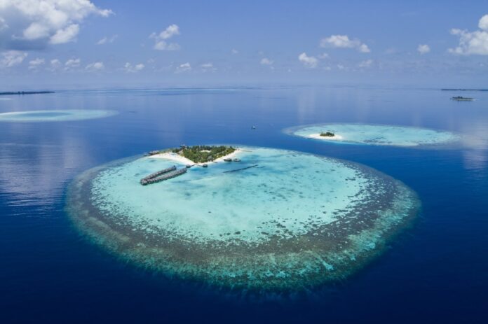
An island country is a nation that is made up of one or more islands or land that is surrounded completely by water. Around one-fifth of Asia is made up of island nations, and while island countries are typically small with low populations, some, like Indonesia and Japan, are notable exceptions.
Staying Afloat

The unique geography of island nations enables them to bank lucratively on tourism. These places have stretches of coastlines, tropical climates, and historical and cultural significance – just some of the few factors that drive tourism.
These nations are also strategically located for maritime trade as their economies mostly rely on imports and exports. Some of these nations also boast natural resources such as fisheries, arable land, minerals, and forestry.
However, many island countries are more affected than other nations by climate change, which produces problems such as reduced land usage, water scarcity, and sometimes even resettlement issues. Some of the low-lying island countries are slowly being submerged by steadily rising sea levels!
Other adverse effects linked to global warming that has been witnessed in these countries include typhoons, cyclones, tides, floods, and droughts, which have had a devasting effect on people’s lives, infrastructure, and agriculture.
Featured below are just some examples of island nations:
Sri Lanka

Size: 65,610 square kilometres
Population: 21.4 million
Sri Lanka, formerly called Ceylon, is an island nation in the Indian Ocean, southeast of the Indian subcontinent, in a strategic location near major Indian Ocean sea lanes. It is the 25th largest island in the world by area. There was once a land connection to the Indian mainland, which is now mostly submerged.
Singapore
 Size: 718 square kilometres
Population: 5.9 million
Singapore consists of 63 islands, including the main island, Pulau Ujong, or Singapore Island, which is the world’s 20th most populous island the world’s and the 31st most densely populated island. There are two man-made connections to Johor, Malaysia: the Woodlands 1st Link in the north and the Tuas 2nd Link in the west. Jurong Island, Pulau Tekong, Pulau Ubin, and Sentosa are the largest of Singapore’s smaller islands. Since 1822, Singapore has continued to increase the area of the island through land reclamation, from 580 square kilometres in the 1960s to 718 square kilometres today.
Brunei

Size: 5,765 square kilometres
Population: 433,285
The Nation of Brunei, Abode of Peace – as it’s officially named – is a rich unitary Islamic absolute monarchy on the north coast of Borneo in Maritime Southeast Asia. It has 161 kilometres of coastline next to the South China Sea, and it shares a 381-kilometre border with Malaysia. It also has 500 square kilometres of territorial waters. Most of Brunei is within the Borneo lowland rainforests ecoregion.
Timor-Leste

Size: 15,007 square kilometres
Population: 1.3 million
East Timor, or Timor-Leste, is a sovereign nation occupying the eastern half of the island of Timor in Maritime Southeast Asia. To the north of the island are the Ombai Strait, Wetar Strait, and the greater Banda Sea. The Timor Sea separates the island from Australia to the south. Much of the country is mountainous.
Bahrain

Size: 780 square kilometres
Population: 1.6 million Bahrain is a generally flat and dry archipelago in the Persian Gulf.
Often described as an archipelago of 33 islands, extensive land reclamation projects have changed this, and the number of islands and island groups has increased to 84, with 161 kilometres of coastline. Bahrain’s largest islands are Bahrain Island, the Hawar Islands, Muharraq Island, Umm an Nasan, and Sitra Island. Bahrain is connected to Saudi Arabia by the 25-kilometre-long King Fahd Causeway.
Taiwan

Size: 36,197 square kilometres
Population: 23.8 million
An island state in East Asia, known historically as Formosa, Taiwan makes up 99 percent of the area controlled by the Republic of China and lies just 180 kilometres across the Taiwan Strait from the southeastern coast of mainland China. The East China Sea lies to its north, the Philippine Sea to its east, the Luzon Strait directly to its south, and the South China Sea to its southwest. Smaller islands include a number in the Taiwan Strait such as the Penghu archipelago, the Kinmen and Matsu Islands near the Chinese coast, and some of the South China Sea islands.
Interested to know more about different island nations? Keep watching this space for the release of the latest Asian Geographic’s Passport “Island Tourism” issue which you can find here or download your digital copy here!


